- Land and Real Estate Management
Land Management and Cadastres
Types of professional activities of the graduates: maintenance and development of spatial data of the state cadastral registration, implementation of the state cadastral registration of real estate and information support of cadastral registration; preparation of planning of field works on engineering-geodetic surveys and their cameral processing for land management and cadastres; work on inspection and monitoring of urban development, cameral processing of research results, compilation of the results of the survey; work on the survey of urban planning and cadastral objects.
Profiles:
Entrance examinations
The organization conducts entrance examinations in person and (or) using distance technologies (subject to the identification of applicants in passing their entrance examinations).
Schedule of entrance examinations
Course duration and fees
Tuition-free studying
Places available
- Full-time studying – 5;
- Part-time studying – 5.
Duration of the course
- Full-time studying – 2 years;
- Part-time studying– 2 years 3 months..
Full-fee studying
Places available
- Full-time studying – 10;
- Part-time studying – 5.
Продолжительность обучения:
- Full-time studying – 2 years;
- Part-time studying – 2 years 3 months.
Tuition per year (2023)
- Full-time studying – 45 000 to 80 000;
- Part-time studying – 45 000 to 80 000.
During your studies you will obtain
Essential skills
- Maintenance and development of spatial data of the state cadastral registration;
- implementation of state cadastral registration of immovable property and information support of cadastral registration;
- preparation of planning of field geodetic surveys and their cameral processing for land management and cadastres;
- carrying out works on surveying and monitoring of urban planning objects, cameral processing of survey results, preparation of reports, design products and technical passports for cadastral activities;
- collection and systematization of information for the development and formation of a set of urban planning documentation.
Material and technical base
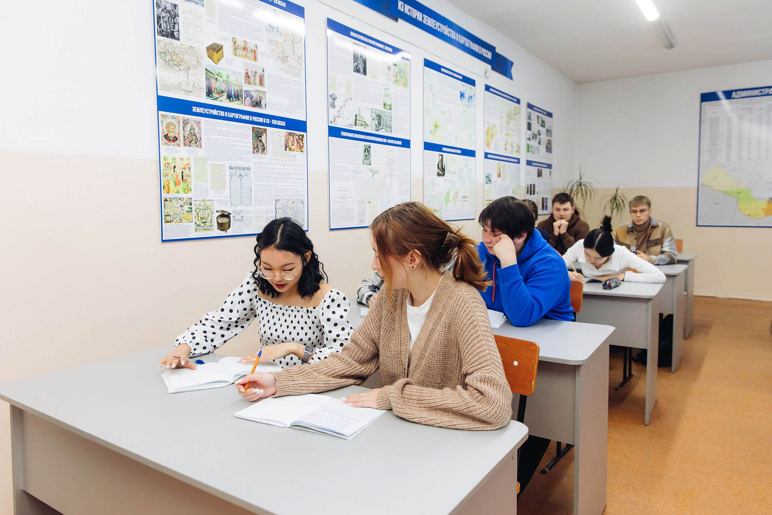
- Classrooms for lecture and seminar type classes;
- the educational and recreational base "Kolos";
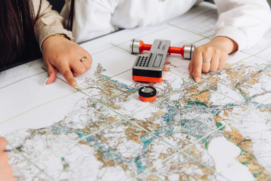
- a geodetic camera, equipped with the following geodetic devices: satellite GPS system; electronic theodolites VegaTeo 20B; electronic tachymeters; optical, digital, laser levels; laser range finders, etc;
- sets of demonstration equipment and teaching and visual aids, providing thematic illustrations, corresponding to the working curricula of the disciplines (modules);
- computer equipment with Internet connection;
- the necessary set of licensed software.

Future career
After graduation, you will be able to work as
- a specialist and hold senior positions in the territorial departments of the Rosreestr Administration, Federal State Budgetary Institution "Federal Cadastral Chamber Rosreestr", Ministries of Property and Land Relations, Territorial Administration of Rosimushchestvo, property committees of municipalities, departments of architecture and town planning of municipalities, enterprises and organizations engaged in geodetic and cadastral works, real estate organizations, private and state unitary enterprises.

Our Partners

Professors

Kuklina Evgeniya Erdemovna
Head of the Chair "Cadastres and Law", Associate Professor, Candidate of Agricultural Sciences