- Profile
- Geodesy
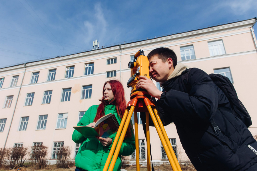
Geodesy and Remote Sensing
Geodesy and Remote Sensing students learn special knowledge by studying the theory of mathematical processing of geodetic measurements, higher geodesy, space geodesy and astronomy, geodetic astronomy, remote sensing, geographic information systems and technologies.
Entrance examinations
The organization conducts entrance examinations in person and (or) using distance technologies (subject to the identification of applicants in passing their entrance examinations).
Schedule of entrance examinations
Course duration and fees
Tuition-free studying
Places available
- Full-time studying – 16;
- Part-time studying – 10.
Duration of the course
- Full-time studying – 4 years;
- Part-time studying – 4 years 10 months.
Full-fee studying
Places available
- Full-time studying – 18;
- Part-time studying – 5.
Duration of the course
- Full-time studying – 4 years;
- Part-time studying – 4 years 10 months.
Tuition per year (2023)
- Full-time studying – 45 000 to 80 000;
- Part-time studying – 45 000 to 80 000.
During your studies you will obtain
Essential skills
Professional activities of a graduate of the Bachelor's Degree Program in the field of study are associated with obtaining measurement spatial information about the surface and physical fields of the Earth, Earth objects, near-Earth and outer space, displaying the Earth surface or its individual territories on plans, maps and digital models; implementation of coordinate-time reference objects, phenomena and processes on the Earth surface and in the surrounding outer space; organization and implementation of work on collection, storage and dissemination of the following information.
Material and technical base
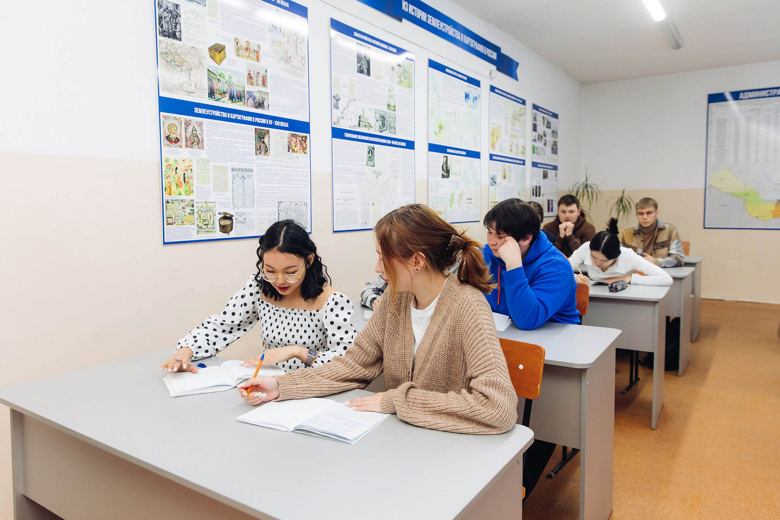
For training use two classrooms of 10 computers, one lecture room, two classrooms for practical training, a room for independent work of students, geocamera.

Future career
After graduation, you will be able to work at
The Federal Service for State Registration, Cadastre and Cartography; the Ministry of Property and Land Relations; the Committee for Architecture and Urban Planning; the Committee for Property Management and Land Use; municipal administrations; the construction industry; commercial organizations engaged in geodetic and surveying work, etc.

Our Partners


Professors

Kalashnikov Kirill Ivanovich
Deputy Director for Research, Candidate of Agricultural Sciences, Associate Professor

Komendanova Tuyana Mergenovna
Director of Department, Candidate of Biological Sciences, Associate Professor
Khamnaeva Galina Gennadyevna
Deputy Director for Educational Work, Senior Lecturer